top of page


Photo:
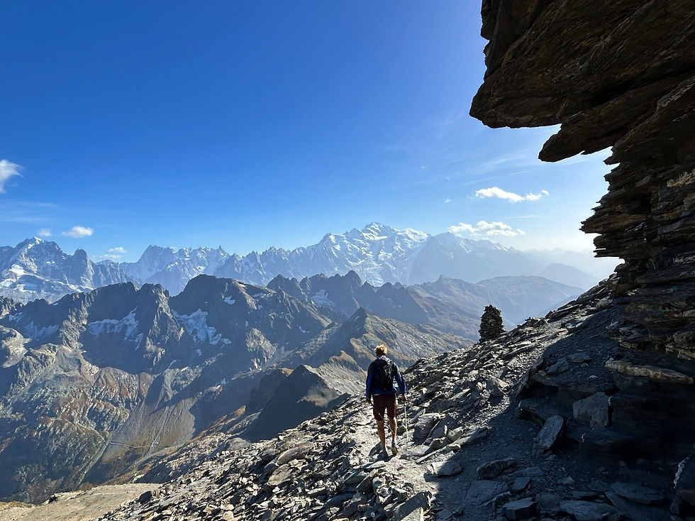
Descend from Mont Buet summit
Trails & Points of Interest featured in this Photo
These are the trails and points of interest on our website that feature the location where this picture was taken:

10
Our Rating
The Best
Trail:
Un itinéraire long et exigeant vous menant à travers la magnifique vallée de Tré-les-Eaux jusqu'au Cheval Blanc et au sommet du Mont Buet, avant de revenir en boucle via le Refuge Bérard.
Length
22.3km
When to Go
Mid Jul - End Sep
Hiking Time
8.0 - 13.0 Hours
Elevation +
+2103m / -2103m
Kids
15+ Years old
Running Time
5.0 - 8.0 Hours
Technical Difficulty
Very Difficult (5/5)
Dogs
No Dogs
Nearest Town
Vallorcine
Photo Location
Longitude:
6.84943611
Latitude:
46.02139167
bottom of page