top of page


Photo:
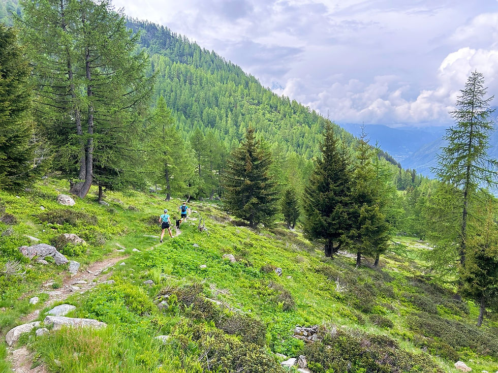
Trail to the Chalets de la Pendant
Trails & Points of Interest featured in this Photo
These are the trails and points of interest on our website that feature the location where this picture was taken:

6
Our Rating
Above Average
Trail:
Une belle boucle qui commence à Lavancher, monte jusqu'aux Chalets de la Pendant, puis redescend en passant par la Tête des Prapators et la Buvette du Chapeau.
Length
10.09km
When to Go
Start Jun - Mid Oct
Hiking Time
3.0 - 5.0 Hours
Elevation +
+806m / -806m
Kids
12+ Years old
Running Time
1.5 - 2.0 Hours
Technical Difficulty
Difficult (4/5)
Dogs
Dogs Allowed
Nearest Town
Chamonix
Photo Location
Longitude:
6.92490278
Latitude:
45.95931111
bottom of page